
In 2021, I took a road trip along a large stretch of California State Route 1, and took a few pictures. Some of the most interesting things along the route, like the Golden Gate Bridge, for instance, are unfortunately absent from this collection, but it is not possible to simultaneously drive safely and photograph things, and I did want to make it to the end of the trip in one piece.
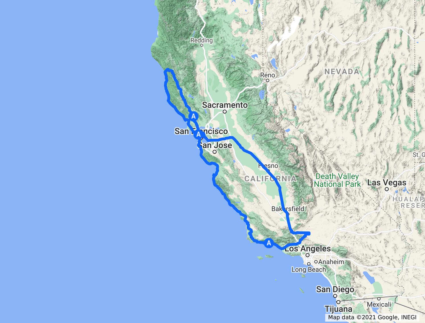
My route began along the concurrency of US–101 and CA–1 in Santa Barbara County and proceeded all the way to the northern terminus of CA–1 at US–101 in Mendocino County. (I took a slight detour through Pacific Grove and Monterey so a few miles of CA–1 along this stretch were not covered.) From there, I returned along US–101 southbound, then I–580 (over the Richmond Bridge) to I–880 to I–238 back to I–580, then on to CA–99 by way of CA–120. Eventually, CA–99 meets I–5 at its southern terminus, and I took CA–138 to Lancaster. Proceeding through the northern part of the Angeles National Forest to Santa Clarita, I eventually took CA–126 back to the concurrency of US–101 and CA–1 in Ventura.
Moonstone Beach in Cambria (all of the images here are links leading to higher-resolution versions).

For most of this day, the cloud layer stayed far out to sea, giving clear skies along the route.

I took a few panoramas as well. Once again, the image above is a link to a higher-resolution version. Be aware that these panorama files are quite large (in excess of 10 MB) and may take some time to load if your connection is slow.

I had just walked along the beach through the rocks shown in this picture. It's a pretty view, but the picture doesn't show the massive cloud of flies that followed me as I stepped around clumps of seaweed rotting in the morning sun.

Here is a nice view from a rest area along CA–1 in Big Sur.

This panorama shows the extent of the patch of clouds obscuring the sky in the previous picture. I had mentioned above that it was mostly sunny along the route; this location was one of the few exceptions. The coast to the north, where the sun was shining once more, is visible to the right-hand edge of the image.

A rocky beach in Pacific Grove.

Pacific Grove is situated along the edge of a large peninsula that sticks out into the Pacific, forming the southern boundary of the Monterey Bay. This panorama looks northwards to the other side of the bay.

Another view, turned to the east a bit.

This friendly seagull really wanted to eat my lunch.

Yet another view of the bay that I took after climbing out on some rocks extending from the bluffs. This was Lovers Point, in Lovers Point Park in Pacific Grove. I'm not sure if it was meant to be "Lovers' " or "Lover's" and the apostrophe had been inadvertently dropped at some point in the past, or if it was just named after somebody with the surname Lovers.

This turned out to be a very relaxing resting point. I sat here for a while.

A final photograph from the rocks, this time looking back towards Pacific Grove.

We now skip forwards all the way past San Francisco to somewhere in Marin County between Sausalito and Mill Valley. This lovely photograph serves as a reminder that this is California in case you forgot. I'm used to seeing these warnings on packages, but this is the first one I've ever seen adorning the wall of a building. Their ubiquity really detracts from any usefulness that they might have been intended to have. Quite frankly, I think that it would be much better if signs were installed at all of the state borders warning any who dare to enter that California itself may cause cancer. (Between the near-continuous sunshine in many parts of the state and smoke from the ever-burning wildfires, it wouldn't be all that inaccurate.)

Here's a particularly uninteresting bridge carrying US–101 past its split with CA–1 after leaving San Francisco. What appears to be a low cloud layer here effectively became fog upon ascending a few hundred feet up the nearby hills.

This unremarkable picture of the San Francisco Bay has an interesting backstory. I wanted to drive the Oakland Bay Bridge at least once while I was in the area, and so starting north of the Golden Gate Bridge I proceeded east over the Richmond Bridge with the intent to carry on towards I–80, cross the Oakland Bay Bridge, and take a nice leisurely drive through downtown San Francisco and back over the Golden Gate Bridge. This all sounded good to me in my head, but there was a little detail that I hadn't factored into my plan…
That detail was that it was about 8:30am on a weekday morning. As it turned out, I got the full Bay Area commuter experience, with a massive traffic jam on I–80 leading up to the Bay Bridge, and heavy traffic in the city. I was so intent on getting away from the congestion that I missed a turn onto Lombard Street and ended up at a dead end by a pier with some parking spots. That's where this picture was taken.

This is another image from the same spot. The aforementioned pier proceeds from the left, and Alcatraz Island appears in the background.

In Sausalito, I stopped at the U.S. Army Corps of Engineers Bay Model, a scale hydrologic model of the Bay Area's bays. It appeared that, at the time I came to visit, the model had been emptied and was just being refilled, so I did not get to see the entire thing in operation. However, the massive scale of this facility was impressive and the photos I took fail to do it justice. If you look closely at the high-resolution version of this picture, you should be able to find Alcatraz and identify in the model the location where I took the last picture.

In this panorama, you can follow the loop I took over the Richmond, Oakland Bay, and Golden Gate bridges. San Francisco streets are, of course, not modeled, since only water features and a few landmarks near the bays' banks are included.

Here is a closeup view of the model filling up with water. When it is full, the tides are simulated at 100 times normal speed. The horizontal scale is 1:1000 and the vertical scale is 1:100 to avoid problems with poor flow over shallow regions (I suspect this may have to do with unwanted surface tension effects although I'm not sure). Of course, such a scaling affects the various dimensionless constants of the flows throughout the model (presumably the Reynolds and Froude numbers, although it's been a long time since I've studied open-channel flows so I'm actually not sure and that could be completely wrong). To correct for this, many thousands upon thousands of small copper tabs, visible in these photos, were hand-placed throughout the model when it was first constructed and calibrated.

This is a wider view of the above area.

Finally, a large area of the model dedicated to the river deltas inland from the Suisun Bay is shown here.

There were fewer interesting stopping points along the northern stretch of CA–1, but the drive was still no less beautiful than the segment south of San Francisco. I did still take a few pictures from the side of the road, like this one of the Tomales Bay near Marshall.

The road continued to wind along the coast after passing from Marin County to Sonoma County, and I stopped near Carmet to admire the view from an overlook.

There were many one lane sections of the road due to construction in Sonoma and Mendocino counties. It also became cloudier as I proceeded north. Here I am waiting next to a field with some cows for opposing traffic to pass. There were a number of cattle fields along the coast up in this area and cattle grates along the road; I would have thought that the rugged terrain throughout the region would make for less than ideal locations to run farms but apparently this is not the case.

At long last, after leaving the coast, and traversing what felt like an innumerable amount of hairpin turns through the forests, I came to the northern end of CA–1. At this point, I was hungry, tired, hot, and eager to begin the return journey along the much less tortuous US–101. I took no photographs along most of this return trip, but I'll briefly summarize some highlights of the journey.
First off, a comparison. US–101 in Mendocino County: when you've seen one tree, you've seen them all. However, they didn't get boring and continued to provide lovely sylvan scenery along the turns of the highway. US–101 in Sonoma County: when you've seen one vineyard, you've seen them all. Unlike the trees, they got boring very quickly, although there weren't too many of them.
After stopping in Santa Rosa for the night and proceeding south the next day, I managed to hit Bay Area morning rush hour traffic again. Instead of another trip over the Oakland Bay Bridge, this time I took I–880 to I–238 to I–580 to go east. I could have just taken I–580 instead of remaining on I–880 through Oakland, but I wanted to drive on I–238 because it is a very special oddity of the interstate highway system. In particular, it is to my knowledge the only "orphaned" 3-digit interstate (its "parent", I–38, does not exist). Apparently California ran out of 3-digit interstate numbers ending in 80 at some point and needed a name for an interstate connector extending CA–238.
I then went south via the CA–99/I–5 route through the Central Valley. CA–99 is very flat, very straight, and not particularly special, but the generous speed limit of 70 mph was greatly appreciated after the twists and turns of CA–1.

The temperature rose as I proceeded towards Lancaster in the Antelope Valley, peaking at 111°F. From the comfort of my air conditioned cabin, I speculated that the breeze I could see blowing through the desert and bending the branches of the shrubbery might be refreshing, and that perhaps it wouldn't feel as hot as the thermometer reading if I stepped out to take a picture down the centerline of the road. This was a bad assumption. It felt like walking into a convection oven.

The reason for this detour through the desert was because I wanted to drive Lancaster's musical road. The road was designed to play a fragment of Rossini's William Tell Overture, albeit an arrangement for rubber and road rather than the more traditional orchestra. Unfortunately when it was built, instructions for the spacings between the centers of the grooves to be carved into the road surface were misinterpreted as distances between the edges of the grooves. The result is that all of the frequencies carefully tuned to the tempo of 55 mph are offset by varying factors, leading to a hilariously out-of-tune rendition of a section of the classic overture.
This is really an auditory experience, so there isn't a picture. I was too tired of driving at this point to try to continue further south and follow CA–1 starting from its other terminus south of the Los Angeles area, so this account of my adventure ends here. If I do ever complete all of CA–1, this page will get updated at some point, but until then, that's all there is.
Total distance (the main loop shown in the map at the beginning, not including the Bay Bridge expedition): 1,252 mi.
Copyright ©2017–2024 Evan Pretti. All rights reserved.